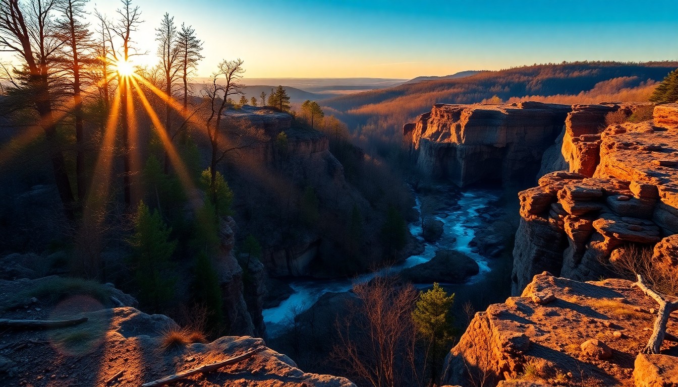
As sunlight filters through a canopy of towering Loblolly Pines and ancient oaks, painting dappled patterns on the forest floor, you embark on the serene Cane Creek Park Loop. The gentle murmur of Cane Creek itself, eventually broadening into the expansive Cane Creek Lake, provides a calming soundtrack, inviting you deeper into Union County’s natural embrace. This trail offers a restorative escape, where the worries of the week dissipate with each step, replaced by the quiet beauty of the North Carolina Piedmont.
Trail Specifications
Trail Name: Cane Creek Park Loop
Location: Union County, NC (Near Waxhaw & Monroe)
Distance: Approximately 4.5 miles (Loop)
Elevation Gain: ~250 feet
Difficulty: Easy to Moderate
GPS Coordinates (Park Entrance): 34.9961° N, 80.5050° W
Best Season: Spring & Fall
Dog-Friendly: Yes, on leash
Route Overview & Natural Highlights
The Cane Creek Park Loop winds its way through classic Piedmont terrain, characterized by gentle, rolling hills and a rich, mixed hardwood-pine forest. You’ll navigate well-maintained paths that hug the shoreline of Cane Creek Lake for significant stretches, offering expansive water views. The ecology here is typical of the region, dominated by towering Loblolly Pines and a diverse array of deciduous trees, including stately White Oaks, resilient Southern Red Oaks, Sweetgum, and the distinctive Tulip Poplar. In spring, the understory awakens with the delicate white blooms of Dogwood and the cheerful magenta of Redbud trees, creating a captivating display. You might also spot patches of Mountain Laurel, particularly in shadier, moist areas near the creek.
Geologically, the area lies within the ancient Carolina Slate Belt, a region formed by volcanic activity and subsequent metamorphosis millions of years ago. As you hike, keep an eye out for exposed bedrock – dark, fine-grained slate and phyllite can occasionally be seen along creek banks or in eroded sections of the trail, hinting at the deep geological history beneath your feet. Wildlife is abundant; white-tailed deer are common, often seen grazing quietly in clearings. Birdwatchers will appreciate the diverse avian population, from various woodpecker species drumming on trees to waterfowl like Canada Geese and Great Blue Herons gracefully patrolling the lake’s edges. Turtles basking on logs and small mammals darting through the underbrush complete the picture of a thriving natural ecosystem.
Turn-by-Turn Trail Breakdown
Trailhead Start (Miles 0.0 – 1.5): Your journey begins from the main trailhead parking area, typically near the park office. The initial segment of the Cane Creek Park Loop is broad and well-marked, immediately immersing you in the forest. You’ll quickly find yourself walking parallel to Cane Creek Lake, with glimpses of its placid waters through the trees. This section is relatively flat, making for a pleasant warm-up. Keep an eye out for interpretive signs detailing local flora and fauna. As you progress, the trail will gently diverge from the immediate shoreline, ascending slightly into a mixed pine and hardwood forest, characterized by the rustling leaves of oaks and hickories underfoot.
Mid-Trail Features (Miles 1.5 – 3.0): Around the mile-and-a-half mark, the trail begins to offer more varied terrain. You’ll encounter a few minor stream crossings, often bridged or easily navigable, as small tributaries feed into Cane Creek Lake. The path may narrow in places, winding through denser stands of trees where the canopy provides ample shade even on sunny days. This is where you might notice the subtle elevation changes, characteristic of the Piedmont’s rolling topography. Listen for the calls of songbirds and the rustle of unseen creatures in the underbrush. Panoramic views of the lake reappear at various points, particularly as you round a bend or ascend a small rise, offering excellent photo opportunities of the shimmering water and the distant shoreline.
Summit/Destination & Return (Miles 3.0 – 4.5): As you approach the furthest point of the loop, you’ll reach a quieter section of the park, perhaps a secluded cove or a less-trafficked arm of the lake. While there isn’t a traditional “summit” on this loop, this marks your turnaround point. The return leg generally mirrors the first half in terms of terrain, allowing you to experience the forest from a different perspective. You’ll gradually descend back towards the main park facilities, perhaps passing by the horse trails or disc golf course as you near the end. The final stretch brings you back along the lake’s edge, providing a satisfying conclusion to your circuit as you return to the trailhead, refreshed by your time in nature.
Seasonal Guide & Best Times
- Spring (March – May): The ideal time for wildflowers, with Dogwood and Redbud trees in bloom. Temperatures are mild and comfortable for hiking. Expect lush green growth and active wildlife.
- Summer (June – August): The forest canopy provides cooling shade, making it bearable, but bring plenty of water. The lake is popular for boating and fishing. Early mornings or late afternoons are best to avoid the midday heat.
- Fall (September – November): A spectacular season as the deciduous trees — particularly the oaks, sweetgums, and tulip poplars — transform into brilliant shades of red, orange, and gold. Cooler temperatures and fewer insects make for excellent hiking conditions.
- Winter (December – February): With the leaves gone, views through the forest open up, offering a different perspective of the landscape and lake. The trails are less crowded, and the air is crisp. Dress in layers, as temperatures can vary.
Essential Gear & Safety
- Hydration: Carry at least 1-2 liters of water, especially during warmer months.
- Footwear: Comfortable hiking shoes or sturdy athletic sneakers with good traction are recommended for the varied terrain.
- Navigation: While the loop is well-marked, a downloaded map (e.g., from AllTrails) can be helpful.
- First-Aid Kit: A basic kit for blisters, scrapes, and minor emergencies is always a good idea.
- Leave No Trace: Pack out everything you pack in, and respect the natural environment.
Getting There & Parking
Cane Creek Park is located at 5213 Harkey Road, Waxhaw, NC 28173, conveniently accessible from the greater Charlotte metropolitan area. From Charlotte, take US-74 East towards Monroe, then follow signs for Cane Creek Park. The park is a significant regional amenity for Union County, a rapidly growing area that still maintains its rural charm. There is ample parking available at the main trailhead and various other lots throughout the park. Please note that Cane Creek Park is a Union County Parks & Recreation facility and typically charges a small entrance fee per vehicle, which may vary for Union County residents versus non-residents. Operating hours are seasonal, so it’s wise to check the Union County Parks & Recreation website before your visit to confirm current fees and gate times. The park is also relatively close to Wingate University, making it a popular spot for students and faculty seeking outdoor recreation.
Curated Literature & Charlotte Downtown Calendar
The Architecture of Focus: Deep Work & Modern Mastery
By Founders Library Press
A structured framework for strategic clarity, productivity, and authentic execution.
Upcoming Downtown Happenings
Live acoustic sessions, gallery receptions, literary salons, and independent trade shows across Charlotte.